
Earth Engine User Meetup
Calendar
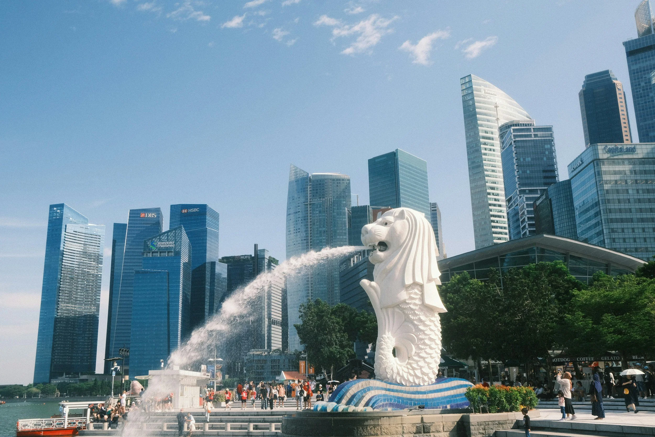
G4G@SG Social
Join us for an evening of networking, delicious Singaporean food and local drinks at the Albert Hawker Centre and Bellies Craft beer taproom (Fortune Centre)!

Earth Engine User Meetup @LPS
Join us for an evening of networking opportunities with fellow Earth Engine enthusiasts who are attending the Living Planet Symposium. Whether you're a beginner or an advanced user, this event is perfect for anyone looking to connect with like-minded individuals and learn from experts in the field. See you there!
Participants who register can receive two welcome drinks sponsored by Google Earth Outreach. You will be responsible for the costs of any additional food and drinks you order.

Samapriya Roy - Building Google Earth Engine Community Catalog & Community Data Commons
Join our guest speaker, Samapriya Roy, PhD for our June Earth Engine User Meetup!
Sam is the creator of Google Earth Engine Community Catalog and Senior Product Manager at MAXAR. His talk is titled: "Building Google Earth Engine Community Catalog & Community Data Commons".
Emma Izquierdo-Verdiguier - Analyzing the Impact of Climate Change on Spring Onset
Join our guest speaker, Emma Izquierdo-Verdiguier, PhD (BOKU), as she shares a talk on “Analyzing the Impact of Climate Change on Spring Onset: New Continental-Scale Data for its Understanding”.
Kristen O'Shea: Climate Engine
We’re looking forward to hearing from our guest speaker, Kristen O’Shea, from the Desert Research Institute share her talk at this EE User Meetup!
Join the livestream 25 minutes before the event starts. No account or login is necessary.
Ka Hei Chow - Cloud Application for EO-based Climate and Disaster Risk Assessment
Come hear our guest speaker, Ka Hei Chow, as she shares about developing a "Cloud Application for EO-based Climate and Disaster Risk Assessment: A CCDR Approach" for the World Bank.
Join the livestream 25 minutes before the event starts. No account or login is necessary.

GDEs Flávia de Souza Mendes & Alvaro Moreno Martínez
Our guest speakers are Flávia de Souza Mendes, PhD and Alvaro Moreno Martínez, PhD.
Come hear about the Google Developer Experts (GDE) programme and what it is like being a GDE! We will also share information about how you can apply to become an Earth Engine GDE.
Join us using this event link! The livestream opens 25 minutes before the event starts.
Guest Speaker: Benjamin Lee
Our guest speaker for this meetup is Benjamin Lee from the German Aerospace Center (DLR). Benjamin will be speaking about cloud-based coastal ecosystem accounting.
Register here. Limited spots are available.
By signing-up for this event, you agree to the terms of the Privacy Policy.
Follow us on Twitter using the hashtag #EarthEngineUserMeetup
Guest Speakers: Julia Atayi and Matilda Anokye
Our guest speakers for this meetup are Julia Atayi and Matilda Anokye from Southern University and A&M College. Stay tuned for registration details.
Julia Atayi - “Monitoring water quality In Chesapeake Bay, Virginia”
Matilda Anokye - “Mapping Urban Heat Island (UHI) for different land cover types in Louisiana - A COVID-19 Case Study”
Video: https://youtu.be/ThhN_8ZwfDo
Slides: https://bit.ly/eeum_19dec2022
By signing-up for this event, you agree to the terms of the Privacy Policy.
Follow us on Twitter & Mastodon using the hashtag #EarthEngineUserMeetup
Ask-Me-Anything Conversation with Simon Ilyushchenko
Join us for an Ask-Me-Anything conversation with Simon Ilyushchenko from the Earth Engine team. Simon is the data wizard who leads the ingestion of datasets into Earth Engine.
By signing-up for this event, you agree to the terms of the Privacy Policy.
Follow us on Twitter using the hashtag #EarthEngineUserMeetup
Register here. Limited spots available.

Earth Engine User Meetup @KLCC
Join the Earth Engine community for an informal meetup near the IGARSS conference venue (KLCC). This is an opportunity to catch up and meet each other over some food. Join us for a light halal dinner buffet with vegetarian options available. We will also have a special guest who will be announced soon!
Registration is required as limited spots are available.

Earth Engine User Meetup @LPS
For those attending the Living Planet Symposium in Bonn, please join us for an informal meetup at a local pub!
Join the Earth Engine community for an informal meetup at a small local pub called Markusschänke. This is an opportunity to catch up and meet each other over some food. The walk takes about 20 minutes from the conference venue. We will depart promptly at 5pm from the Google Booth. You are also welcome to meet us directly at the venue. Vegetarian options are available and kids are welcome! :)
The Earth Outreach team may provide some appetisers but dinner and drinks are at your own cost. Don't forget to bring cash! The only accepted form of payment at the pub is cash.

EarthEngine@SG Lightning Talks II
Earth Engine users and developers share their work at EarthEngine@SG on 25 April 2022 at 2pm UTC+8. This session features online presentations.
EarthEngine@SG Lightning Talks I
Earth Engine users and developers share their work at EarthEngine@SG on 25 April 2022 at 10am UTC+8. This session features in-person presentations.
EarthEngine@SG
EarthEngine@SG connects Earth Engine users from academia, industry, public sector and non-governmental organisations in Singapore & beyond!
Google Earth Engine (EE) is a powerful cloud-based platform used to process remotely sensed satellite imagery and conduct large-scale land cover mapping on-the-fly. The applications of EE are numerous and cover a range of topics such as urban expansion, deforestation, and mapping of hazards, just to name a few. The user community in Singapore has grown over time and we would like to bring the community together through a one-day virtual symposium.
We are excited to host EarthEngine@SG during the SG Geospatial Festival and allow this event to be a platform for connecting with users of EE from academia, industry as well as public sectors and non-governmental organisations.
The one-day virtual event includes a keynote talk, parallel talks on different topics, a networking breakout session and hands-on EE workshops.
This would be followed up by another event in March 2022, which is tentatively scheduled to be an in-person event. We would offer the opportunity to users to present lightning talks about their work using EE as well as networking opportunities for future collaborations among participants.
Co-located with Singapore Geospatial Festival 2021
Community Chats
We’ll have a session focusing on networking, sharing ideas and meeting other community members! We will use themed breakout rooms that you can visit. All participants, by registering for this event, agree to abide by the Berlin Code of Conduct.

Emil Cherrington - SERVIR applications leveraging GEE
Emil Cherrington will be our guest speaker in April. Emil is the West Africa Regional Science Coordination Lead with the NASA Earth Applied Sciences ProgramCapacity Building program area's SERVIR Science Coordination Office. SERVIR is a joint development initiative between NASA and the U.S. Agency for International Development (USAID).
This talk will showcase how SERVIR – a partnership between NASA, the U.S. Agency for International Development (USAID) and a number of regional centers of excellence – are leveraging Google Earth Engine (GEE) in the geospatial services the network is implementing. In addition to those examples, Emil will also demo specific examples of the use of GEE for monitoring of terrestrial and marine ecosystems in Belize, towards supporting the Sustainable Development Goals (SDGs).
Mainstreaming National to Global Scale Land Cover and Mangrove Mapping Using GEE - Celio Helder Sousa & Liza Goldberg
Celio Helder Sousa and Liza Goldberg will be our guest speakers. They are both affiliated with the NASA Goddard Space Flight Center.
Harvested forest regeneration from space: leveraging GEE for large-scale analyses in Alberta, Canada's changing landscape - Jennifer Hird
Jennifer Hird will be our guest speaker for the first meetup of 2021! She is a Remote Sensing Scientist at the Geospatial Centre, ABMI & Applied Geospatial Research Group at the University of Calgary.

Monitoring the Aerosol Concentrations of the Sahara Desert using Google Earth Engine - Abena Asare-Ansah
Abena Asare-Ansah will share her work using Earth Engine to monitor the aerosol concentrations in the Sahara Desert.

Geomatics in support of Canada's National Greenhouse Gas Inventory and Air Pollutant Inventory - Koreen Millard
This talk was recorded and can be viewed at https://bit.ly/eevm-youtube.

Urban Tree Cover Inequity & Climate Mitigation - Tanushree Biswas
The full title of the talk is “Pathway Forward: Addressing Urban Tree Cover Inequity as a Climate Mitigation Strategy”. Tanushree Biswas from The Nature Conservancy is our guest speaker.

Introduction to geemap - Qiusheng Wu
We will introduce some key features of geemap and a general workflow for using it for interactive mapping and analysis, such as defining study area, searching GEE data catalog, filtering image collection, creating timelapse animations, developing algorithms, applying algorithms to timeseries images, visualizing results, and batch-exporting datasets.

Earth Engine Lightning Talks
Here's your chance to share your work, art, tips or apps to a global audience. All are welcome! Each talk is only 3 minutes long. Check out the video recording if you missed our session.
Our lightning talks in order:
Dawn Nekorchuk: Forecasting Malaria: Using GEE Environmental Data in the EPIDEMIA System
The EPIDEMIA system is a long-running project with public health officials in the Amhara region of Ethiopia to forecast malaria. We are currently using GEE to download environmental data to use in the modeling. We are also now looking to scale to all regions in Ethiopia.
Andrea Hess: Mapping building density with PlanetScope imagery
I study malaria risk factors in the Amhara region in Ethiopia. For my study area I don't have reliable population data, so I classified buildings as an approximate measure of population density. I used PlanetScope imagery at a spatial resolution of 3m to classify buildings and to create a building density index.
Qiusheng Wu: Using the geemap Python package for interactive mapping with Earth Engine
This talk will introduce the geemap Python package and its key functions for doing interactive mapping with Earth Engine. More information about geemap can be found at https://github.com/giswqs/geemap and https://www.youtube.com/c/QiushengWu
Rich Boothroyd: Active river channel change in tropical rivers
We focus on approaches to look beyond mapping wet river channel extents and instead map the wider riverscape (i.e. water, sediment, vegetation) and its dynamics. Examples will be given from several tropical rivers in the Philippines.
Slides pending
Tirthankar ‘TC’ Chakraborty: Estimating COVID-19 presence at fine resolutions in the US
I will discuss some of the work I am doing on the Yale COVID-19 mapping project. Of these, I will focus on a couple of web apps displaying possible COVID-19 presence at less than 100 m x 100 m resolution for the US and the Connecticut, respectively, implemented on Google Earth Engine.
Cristina Vrînceanu: Mapping pollution during the COVID-19 epidemic
The COVID-19 pandemic has given us the chance to map different phenomena rapid changes including impact over the economic activity, mobility or the environment. All these are reflected in daily fluctuations of pollution levels and satellite data can help monitor them efficiently, prompting to a wealth of new possibilities in easily visualizing this data and drawing fast preliminary conclusions. In this talk, I will explore on how changes in pollution levels can be visualized using Sentinel-5P data and what quick insights we can get from this data.
Keiko Nomura: How to publish your map online
I will show a few apps I made so far. Nothing fancy but simple to use, copy and paste
Sunita Yadav: Evaluating reference data needs
Slides and Video are confidential.
Carlos Riano: Support of GEE to analyse land use change and deforestation for national governments

Monitoring Global Urban Heat Islands from Space - Tirthankar "TC" Chakraborty
If you missed it, TC's presentation is now online. To learn more about TC's research, check out his website at tc25.github.io.


Surface water mapping in the Sacramento Delta - Daniel Constable
Daniel Constable is our guest presenter. He will share about his work on surface water mapping.

Combining radar and optical imagery to map oil palm plantations in Sumatra - Janice Lee, Thuan Sarzynski
Prof. Janice Lee and Thuan Sarzynski are our guest speakers for the first Earth Engine Virtual Meetup of 2020! This is our special Asia Pacific edition of the meetup.

ERA5 Climate Reanalysis in Earth Engine - Julia Wagemann
Julia Wagemann presented on how she ingested a subset of the Copernicus ERA5 Climate Reanalysis dataset into Google Earth Engine.

Earth Engine Demo - Keiko Nomura
Keiko Nomura demonstrated some of her Earth Engine scripts along with a set of tips. She also shared some useful Twitter accounts and blogs to follow.